

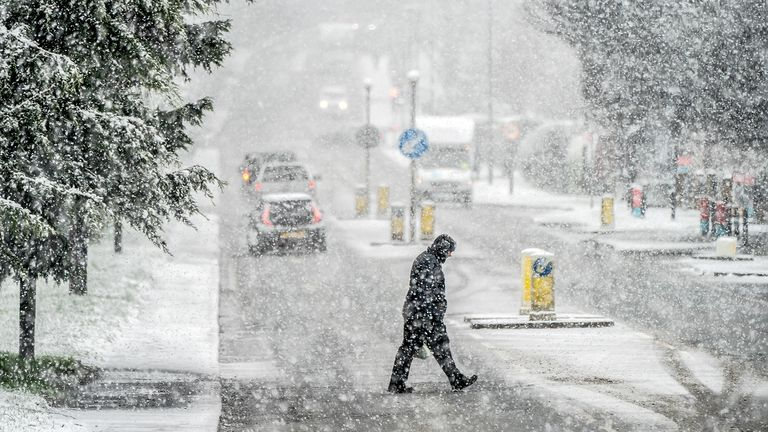
Winter weather can change your plans in an instant. When you check a snow weather forecast, you’re getting crucial information that could affect your daily routine, travel plans, and safety. Understanding how to read and interpret winter weather predictions can help you make better decisions and stay prepared for whatever Mother Nature throws your way.
What Is a Snow Weather Forecast?
A snow weather forecast is a scientific prediction that tells you when, where, and how much snow might fall in your area. Weather experts use computer models, satellite data, and ground observations to create these forecasts. The predictions typically cover the next few days to a week, with shorter-term forecasts being more accurate than longer-range ones.
Weather forecasters analyze atmospheric conditions like temperature, humidity, wind patterns, and pressure systems to determine if snow will develop. They look at how different air masses interact and move across the landscape. Cold air from the north meeting warm, moist air from the south often creates the perfect conditions for snow formation.
How Forecasters Create Snow Predictions
Modern weather prediction relies heavily on computer models that process enormous amounts of data. These models simulate the atmosphere and predict how it will change over time. Forecasters use multiple models and combine them with their expertise to create the most accurate snow weather forecast possible.
The process starts with collecting current weather data from thousands of weather stations, satellites, and weather balloons around the world. This information gets fed into supercomputers that run complex mathematical equations to predict future conditions.
Key Elements of Winter Weather Predictions
When you look at a snow weather forecast, you’ll see several important pieces of information. Each element helps you understand what to expect and how to prepare.
Snow Accumulation Amounts: This tells you how many inches of snow might fall. Forecasters often give ranges like “2-4 inches” because predicting exact amounts is challenging.
Timing: The forecast shows when snow is expected to start and stop. This information helps you plan activities and travel around the storm.
Temperature Trends: Temperatures before, during, and after the storm affect how snow falls and accumulates. Warmer temperatures might mean wet, heavy snow, while very cold conditions could produce light, fluffy snow.
Wind Conditions: Strong winds can create blowing and drifting snow, making travel dangerous even with light snowfall amounts.
Probability of Precipitation
Weather forecasts include a probability of precipitation, often shown as a percentage. A 70% chance of snow means there’s a 7 in 10 chance that measurable snow will fall at any given point in the forecast area.
Many people misunderstand this percentage. It doesn’t mean 70% of the area will get snow, or that it will snow 70% of the time. Instead, it represents the confidence level that precipitation will occur at your specific location.
Understanding Snow Accumulation Forecasts
Snow accumulation forecasts are among the most challenging aspects of weather prediction. Small changes in temperature or storm track can dramatically affect how much snow actually falls.
Meteorologists consider several factors when predicting accumulation:
- Snow-to-liquid ratio: Typically, 10 inches of snow equals 1 inch of liquid precipitation, but this varies greatly depending on temperature and humidity
- Ground temperature: Warm ground can melt the first several inches of snow
- Storm duration: Longer storms generally produce more accumulation
- Snow rate: Heavy snow rates can overcome warm ground temperatures
Light vs. Heavy Snow Events
Light snow events typically produce 1-3 inches of accumulation and may not significantly impact daily activities. However, even light snow can create slippery conditions, especially on bridges and overpasses that freeze first.
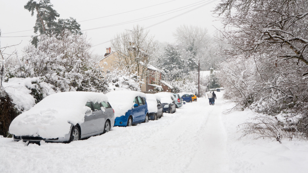
Heavy snow events bring 6 inches or more and can severely disrupt transportation and daily life. These storms often trigger school closures, flight cancellations, and dangerous driving conditions.
Moderate snow events fall between these categories and might produce 3-6 inches of accumulation. These storms require careful monitoring as they can quickly intensify or weaken based on atmospheric conditions.
Different Types of Winter Storm Warnings
The National Weather Service issues different types of alerts based on expected snow conditions. Understanding these warnings helps you gauge the severity of approaching weather.
Winter Weather Advisories are issued when snow accumulations of 2-5 inches are expected within 12 hours. These conditions can create slippery roads and reduced visibility.
Winter Storm Watches alert you that conditions are favorable for significant snow within the next 24-48 hours. This gives you time to prepare for potential impacts.
Winter Storm Warnings mean heavy snow is imminent or already occurring. Expect 6 or more inches of snow within 12 hours, creating dangerous travel conditions.
Blizzard Warnings are the most serious winter weather alerts. They’re issued when sustained winds of 35+ mph combine with snow to create whiteout conditions for at least 3 hours.
Regional Variations in Warning Criteria
Different regions have varying criteria for winter weather alerts based on local climatology and infrastructure. Areas that regularly receive heavy snow might not issue warnings until higher accumulation thresholds are met.
Southern regions that rarely see snow might issue warnings for much smaller amounts because they lack snow removal equipment and experience driving in winter conditions.
How Weather Radar Helps Predict Snow
Weather radar technology plays a crucial role in creating accurate snow weather forecasts. Doppler radar can detect precipitation particles in the atmosphere and determine their movement and intensity.
Modern radar systems can distinguish between different types of precipitation, including snow, rain, and mixed precipitation. This helps forecasters track storms in real-time and update predictions as conditions change.
Dual-polarization radar provides even more detailed information about precipitation type and intensity. This technology sends radio waves in both horizontal and vertical directions, giving meteorologists better insight into what’s happening in the atmosphere.
Radar Limitations in Snow Forecasting
While radar is extremely valuable, it has limitations when tracking snow. The radar beam travels in a straight line and curves with Earth’s curvature, so it might miss low-level snow in areas far from the radar site.
Additionally, radar shows what’s happening in the atmosphere, not necessarily what reaches the ground. Snow can evaporate or melt before hitting the surface, especially in marginal temperature conditions.
Temperature Impact on Snow Forecasts
Temperature plays the most critical role in determining whether precipitation falls as snow, rain, or a mixture of both. The snow weather forecast must account for temperatures throughout the entire atmospheric column, not just at ground level.
Surface Temperature: Generally needs to be 32°F (0°C) or below for snow to stick and accumulate. However, snow can fall and accumulate briefly even when surface temperatures are slightly above freezing.
Temperature Aloft: The temperature profile throughout the atmosphere determines precipitation type. If there’s a warm layer above the surface, snow might melt and refreeze, creating sleet or freezing rain instead.
Temperature Trends: Rising or falling temperatures during a storm can change precipitation type and affect accumulation rates.
The 32-Degree Rule
Many people think snow can’t fall when temperatures are above 32°F, but this isn’t always true. Snow can fall when surface temperatures reach the mid-30s, especially if the air is relatively dry or if snow is falling heavily.
The key factor is how long snowflakes spend in the above-freezing air. If they don’t have time to completely melt, they can still reach the ground as snow.
Best Weather Apps for Snow Forecasting
Several weather apps excel at providing detailed snow weather forecasts with user-friendly interfaces and accurate predictions.
Weather Underground offers hyperlocal forecasts and detailed radar maps. Their crowd-sourced weather reports from local observers can provide real-time snow accumulation updates.
AccuWeather provides minute-by-minute precipitation forecasts for the next two hours, helping you time outdoor activities around snow showers.
Weather.gov is the official National Weather Service app, offering the most authoritative forecasts and warnings without commercial bias.
Dark Sky (now part of Apple Weather) specializes in precise precipitation timing and intensity forecasts.
Also Read: https://flyermagazines.co.uk/polar-vortex-collapse-forecast/
Features to Look for in Weather Apps
When choosing a weather app for snow forecasting, look for these important features:
- Radar overlay capabilities to track approaching storms
- Hourly forecasts showing precipitation type and intensity
- Push notifications for weather warnings and alerts
- Multiple forecast models to compare different predictions
- Historical weather data to understand typical patterns for your area
Reading Weather Maps for Snow Events
Weather maps provide visual representations of atmospheric conditions that create snow. Learning to read these maps enhances your understanding of snow weather forecasts.
Surface maps show current conditions including temperature, pressure, and precipitation. Cold fronts appear as blue lines with triangles, while warm fronts show as red lines with semicircles.
Upper-level maps display conditions in the higher atmosphere where storm systems develop and move. These maps help predict storm track and intensity.
Satellite images reveal cloud patterns and storm structure. Thick, organized cloud bands often indicate organized storm systems capable of producing significant snow.
Pressure Systems and Snow Development
Low-pressure systems are the primary drivers of snow events. These systems create the lift needed to generate clouds and precipitation. The deeper the low-pressure system (lower central pressure), the stronger the storm typically becomes.
High-pressure systems generally bring clear, cold weather. When positioned properly, they can provide the cold air mass needed for snow while a low-pressure system approaches.
Common Forecast Mistakes and Limitations
Even the best snow weather forecasts have limitations and potential sources of error. Understanding these helps you interpret forecasts more effectively.
Temperature errors are among the most common forecast mistakes. A few degrees difference can mean the difference between rain and snow, significantly affecting accumulation predictions.
Storm track errors occur when storm systems move differently than predicted. A storm tracking 50 miles north or south of the forecast path can dramatically change local snow amounts.
Timing errors happen when storms arrive earlier or later than expected. This affects preparation time and can catch people off-guard.
The Butterfly Effect in Weather
Small changes in initial atmospheric conditions can lead to large differences in weather outcomes. This is why forecast accuracy decreases with time, and why meteorologists often provide ranges rather than specific amounts.
Computer models are only as good as the data they receive and the equations they use to represent the atmosphere. The atmosphere is incredibly complex, and some processes occur on scales too small for models to capture accurately.
Preparing for Snow Based on Forecasts
A good snow weather forecast gives you time to prepare for winter weather impacts. Proper preparation can keep you safe and minimize disruptions to your routine.
Vehicle preparation should include checking your gas tank, keeping an emergency kit in your car, and ensuring your tires have adequate tread. Consider postponing non-essential travel during significant snow events.
Home preparation involves having adequate food, water, and medications for several days. Power outages can occur during heavy snow and ice events, so have flashlights, batteries, and alternative heating sources ready.
Work and school planning becomes important when snow forecasts suggest difficult travel conditions. Many employers and schools have policies for weather-related closures or remote work options.
Emergency Supply Checklist
Keep these items ready based on snow weather forecast warnings:
- Non-perishable food for at least 3 days
- Water (1 gallon per person per day)
- Battery-powered or hand-crank radio for weather updates
- First aid kit and necessary medications
- Flashlights and extra batteries
- Cell phone chargers (car charger and portable battery)
- Cash in case ATMs lose power
- Important documents in waterproof container
Understanding snow weather forecasts empowers you to make informed decisions about travel, work, and daily activities during winter weather events. While forecasts aren’t perfect, they provide valuable guidance for staying safe and prepared. Remember to check forecasts regularly as storms approach, since predictions can change as meteorologists receive new data. Stay informed through official weather sources, and don’t hesitate to adjust your plans when forecasts indicate significant snow is possible. Your safety and preparation today depend on how well you understand and respond to winter weather predictions.